ABOUT DRONESPH
People. Expertise.
A Higher Perspective.
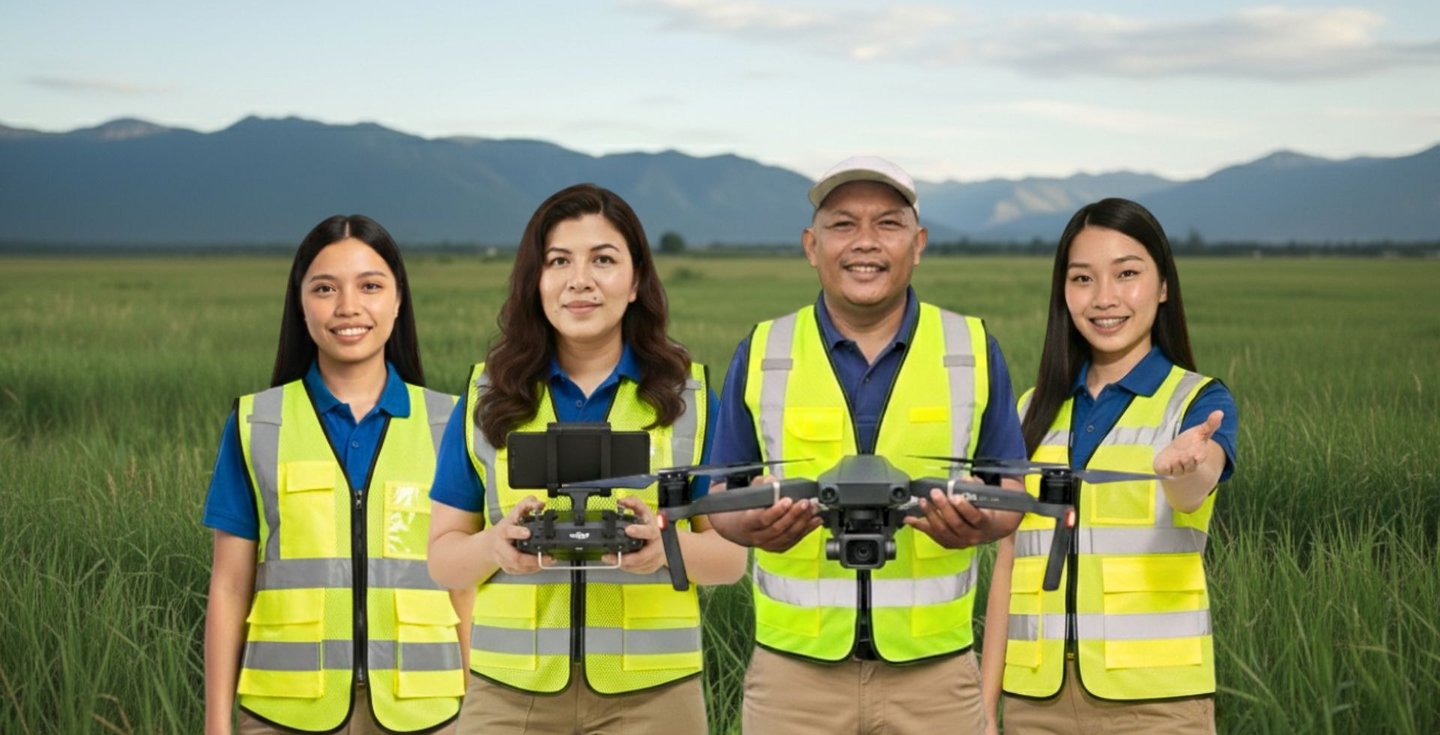
DronesPH Trading brings together geodetic engineering, field experience and drone technology to provide professional aerial solutions and structured remote pilot training.
COMMITTED TO SAFER SKIES
REAL-WORLD EXPERIENCE


TECHNICAL EXPERTISE


OUR STORY
From Land Surveying to Aerial Solutions
Our journey began in land surveying. As geodetic engineers, we have spent years working on the ground — establishing control points, gathering field measurements, and producing accurate maps and spatial data for various projects and clients.
As technology evolved, we saw how drones could complement traditional surveying. Aerial data collection allowed us to cover larger areas more efficiently, capture details that are difficult to access on the ground, and provide a broader perspective for better planning and decision-making.
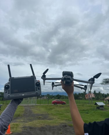
Building on our geodetic expertise and field experience, we expanded into drone surveying, aerial mapping, inspection and documentation. We also saw the need for more trained and responsible drone pilots, which led us to develop our remote pilot training programs.
DRONESPH TRADING AERIAL SOLUTIONS FOR A BRIGHTER PHILIPPINES
Today, DronesPH brings these areas together — geodetic expertise, drone technology and pilot training — to deliver practical, reliable and professional solutions for individuals, businesses and project teams.
Address
Palestina,Pili, Camarines Sur