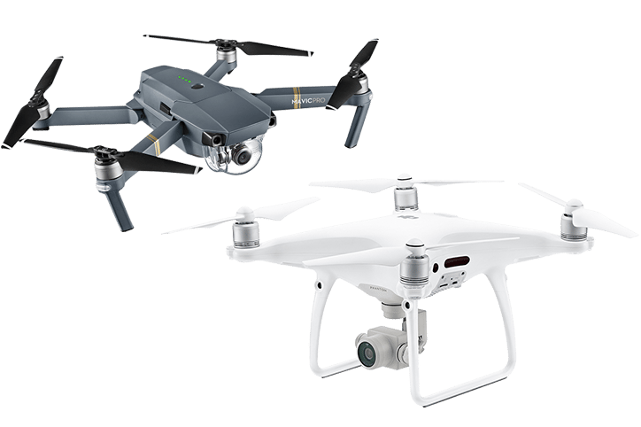
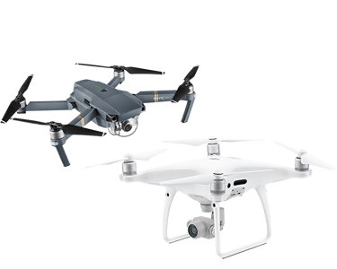
Save big on selectED drones!

Professional Aerial Surveying and Mapping Drones


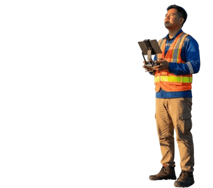
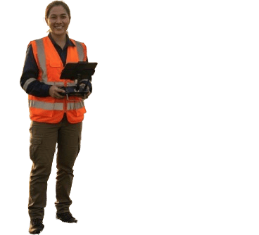
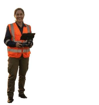
Drone Pilot Training and Certification Programs
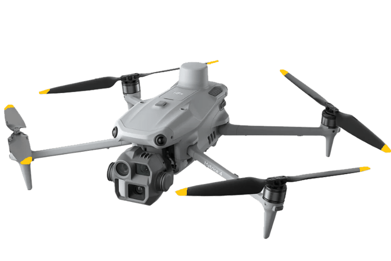
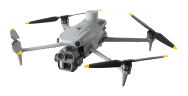
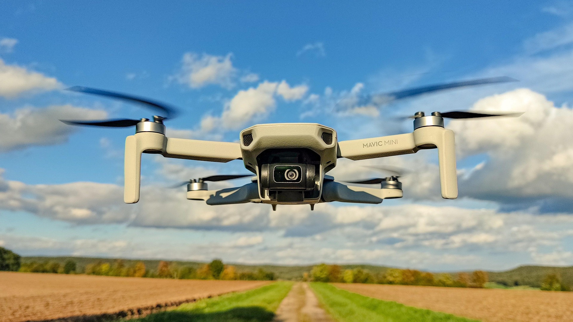
We provide Industry-Grade Drones and Accessories equipped for high-accuracy aerial surveying and mapping services powered by advanced drone technology. It can also support land development, construction planning, volume measurement, and geospatial analysis with reliable, engineering-grade results.
Our training programs are designed to develop competent, safety-focused drone pilots. Led by registered drone pilots with real-world experience, courses combine geodetic instruction, regulatory knowledge, and hands-on flight training to prepare students for professional operations.


Why Choose DronesPH Trading?
Team of registered drone pilots and geodetic engineers
Compliance with aviation safety and operational standards
Industry-focused solutions for accurate and reliable results
Trusted partner for government, private, and commercial projects
Dronesph made my first drone purchase easy and stress-free—highly recommend!
Ana M.
Great selection and fast delivery. Perfect for my content creation needs.
Jhay R.
★ ★ ★ ★ ★
★ ★ ★ ★ ★
Customer Reviews
Yuan P.
★ ★ ★ ★ ★
Very accommodating people. Definitely a must try!
Stay Connected
High-grade Drone Products
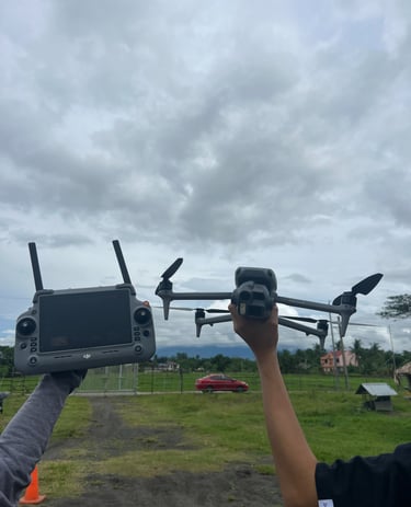
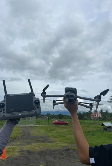
Drone Pilot Training Program
Discuss Your Project Requirements